
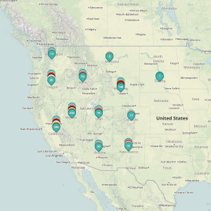
The time has come for a over of our mapping services to clear the way for further development of handy tools for our users. As such, this month we have rolled out a new map format to better allow our users to quickly peruse wind energy leases by disposition. In order to keep the maps as clutter free as possibly,…
Category: Wind Energy Zones
Understanding Wind Lease Ownership
We receive lots of emails from people who find their name or a relative’s name on our site and want to know if this means they have some right to the land listed under that name. The short answer is, “if you have to ask, then probably not” but the complete answer deserves the time and attention that is best…
Understanding BLM Administrative Areas
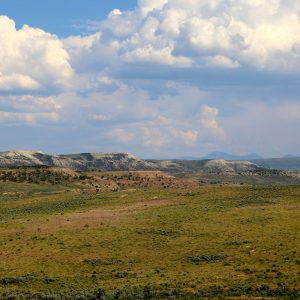
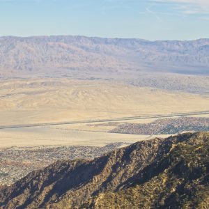
We have added a new way to browse and explore leases: by Bureau of Land Management (BLM) Administrative Area. To give context to this new feature, we wrote this handy explanation. Summary Nearly a quarter of a billion acres – about one-eighth of the landmass of the USA – is administered by the BLM. These public lands & resources contributed…
Understanding Townships
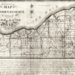
This entry focuses on a part of our earlier discussion, Understanding Location Data. For greater context on what we will be addressing, please read that post first. One of the more confusing aspects of the Public Land Survey System (PLSS) is the concept of “townships.” A “township” can refer to two different things. Both are part of the PLSS measurement system but have…
Welcome!
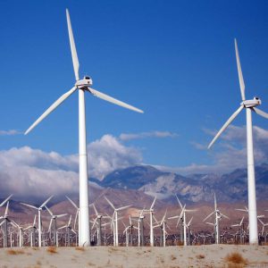
We are excited to have launched the Wind Energy Zones! There is a lot of wind energy collection that occurs across the US. While much of this is occurring on public lands, few people are able to discover the “who,” “what,” and “where” of public wind claims. Though this is a matter of public record, we aim to make it a matter of…